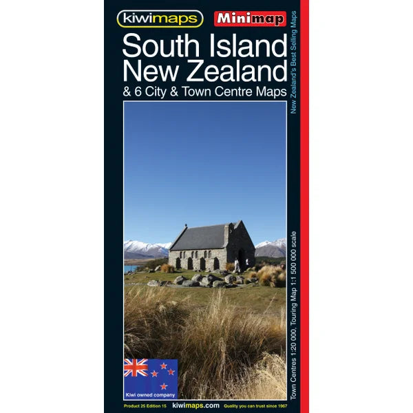
KiwiMaps South Island Mini Road Map
KiwiMaps South Island Mini Road Map
Low stock
All in stock items are sent via tracked courier the same day if ordered by 3 pm (excluding weekends/public holidays)
Couldn't load pickup availability
KiwiMaps South Island Mini Road Map
New Zealand's South Island at 1:1,500,000 on a handy size, indexed touring map with indexed town centre street plans for six cities, traveling times map, a distance table, etc. The road network emphasizes state highways and indicates tourist routes such as the Southern Scenic Route, Great Alpine Highway, etc.
Main railway lines and ferry lines are included and local airports and airfields are marked. The base map has relief shading to show the topography, with plenty of names of mountain ranges, lakes and other geographical features. National Parks and protected areas are highlighted.
The index is on the reverse and in addition to towns and cities also lists coastal/water features, mountains, and ski fields/parks/tracks. Also included are a distance table and a small map showing traveling times.
The map includes six panels with city centre street plans for Christchurch, Dunedin, Invercargill, Queenstown, Nelson and Picton. The plans show one way streets and locations of various facilities, and are indexed.